
We’d be lost without maps! Streets — highways – wait, what’s that squiggly blue line?
This is Sandra Tsing Loh with the Loh Down on Science, saying —
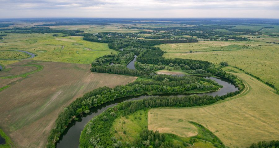
It’s got to be a river, right? But are rivers REALLY blue?
John Gardner at University of North Carolina Chapel Hill and colleagues wanted to check. Using satellites, they kept a space-eye view on every river in the USA for thirty-five years.
Their findings? Over time, about a third of the rivers changed COLOR! That’s about ten thousand rivers! WHAT?
From a distance, most rivers appear either yellow, green, or blue. The color reflects river health. For instance, algae, sediment, and pollution can change rivers from healthy blue to sickly yellow.
Some color change is normal. Rivers typically change color with the seasons. But Gardner’s team found that the AVERAGE yearly color of many rivers had changed. The culprit? Climate change, local construction, and pollution.
So with rivers changing hues, what color should we use on maps? Let’s just stick with blue. After all, blue rivers are happy rivers, and maps should be… mappy!
Reference: Gardner, J. R., Yang, X., Topp, S. N., Ross, M. R., Altenau, E. H., & Pavelsky, T. M. (2021). The Color of Rivers. Geophysical Research Letters, 48(1). https://doi.org/10.1029/2020gl088946